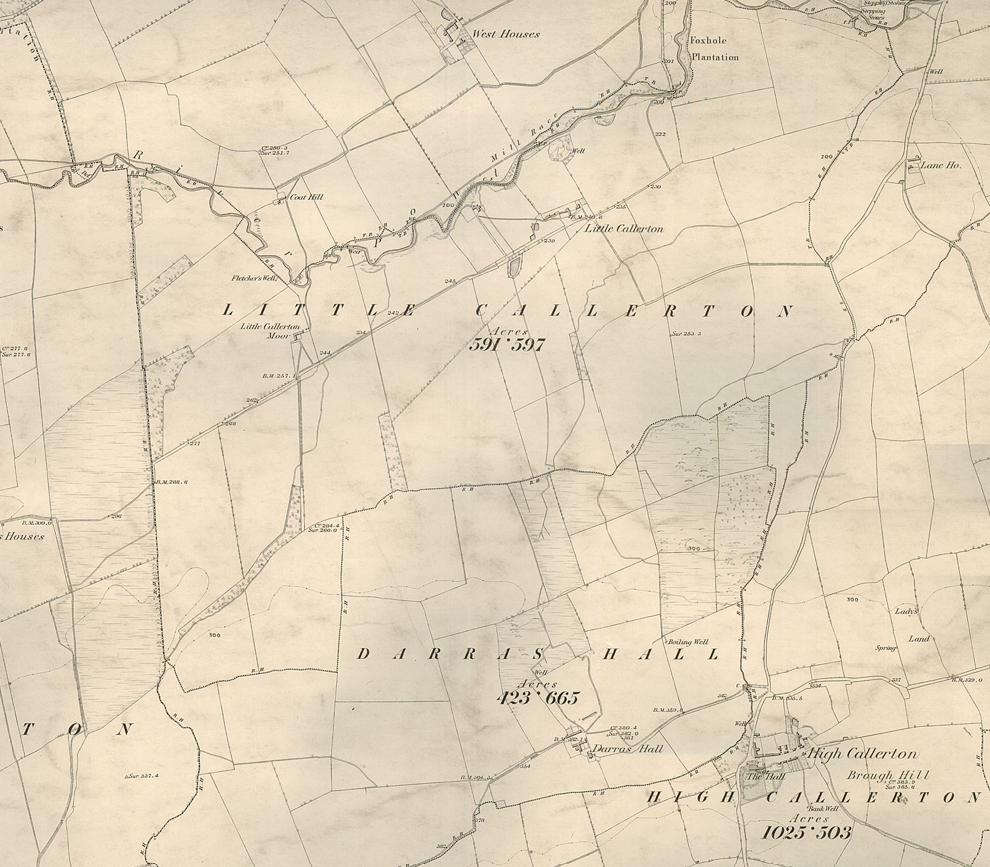
In 1907, two adjacent farms near Ponteland were offered for sale by auction. These were Darras Hall Farm and Little Callerton with Callerton Moor. The land which came with the two farms made a total area of over a thousand acres.

This land was purchased by the Northern Allotment Society with the intention of selling on to buyers who had already expressed an interest. The land was divided up into 185 lots of approximately five acres each, and the sale went ahead in February 1911. Buyers could only use the land for residential, agricultural, or horticultural purposes – no keeping of animals was allowed (except chickens) and no business use was permitted.
The following map shows how the land was divided into separate lots, including the planned extension of the North Eastern Railway into the centre of the estate at Darras Hall Station which then opened in October 1913.

Here at Northumberland Archives, we hold historical building plans, and we are currently cataloguing these so that once a record is found in the index, the catalogue* can be checked to confirm the location of the plan.
The index of the old Castle Ward Rural District Council shows a steady trickle of planning applications for residential properties in Darras Hall from 1919 onwards. (Very few planning applications were made/considered during the war years for obvious reasons.)
Some applications were for individual buildings whereas others were applications to develop the entire lot, with several detached or semi-detached properties.
The following image shows the plan submitted for Lot no.59 to the southeast of the junction of Eastern Way and Darras Road.

Here we can see the first image enlarged so that you can see the location of Lot 59.

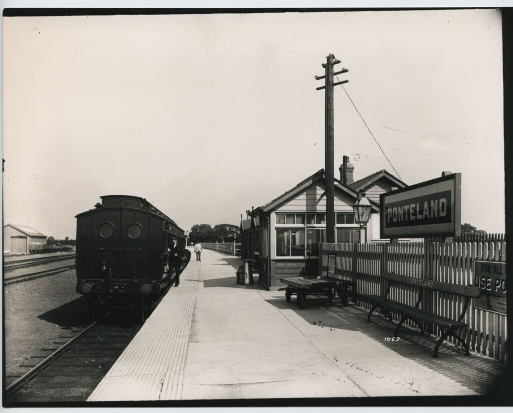
By checking satellite imagery, we can see that several of the semi-detached houses planned for Darras Road, still seem to be there now (with various modifications and extensions). However, although the estate has been extraordinarily successful, the slow rate of building across the area in those early days, was one of the main reasons why the railway line was a financial failure. The line was closed to passenger traffic on 17th June 1929. By June 1932, there was a planning application submitted, to convert the station building into a dwelling.

Of course, not every ‘grand’ plan came to fruition! The following image is a plan for a large development on the east side of the old main road through Woolsington which was approved in 1925.
Those of you who are familiar with that area will know that this planned development never got built at all!

*At the time of writing this blog, the building plans for Castle Ward Rural District Council have been catalogued for the period 1903 to 1932.

Re Woolsington: Years ago when I worked in Newcastle Planning Department I remember coming across a large plan in a drawer showing the existing Woolsington Park as the first part of a huge proposed development of more of the same style of low density housing, to the south and east. I think it was dated mid 1930s, and I assumed it was stymied by WW2 and then the 1947 Town and Country Planning Act. I may have misremembered this of course!
John Edwards, Gosforth.