|
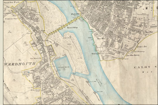
Second edition OS 25” map showing Tweed Dock, 1898
This map shows the Quayside at Berwick and the Tweed Dock on the south side of the River Tweed. The dock was opened in 1876 and allowed the port to deal with larger vessels and to increase its trade. The main imports through the Dock have been timber, fertilisers, chemicals, cereals and cement. Originally, coal from Scremerston Colliery was exported from the port, however, this market declined with the development of large pits in the south of the County. Grain, however, has remained a constant export from the Dock throughout its history.
|

|