On the 23rd October 1829 a neighbourhood dispute brought two brothers, George and James Mather, before the law at the Alnwick Quarter Sessions. The brothers were presented on the following nuisance charge;
“On the first day of July in the tenth year of the reign of our own Sovereign Lord George the fourth ….. in and upon a certain street and King’s common Highway there, called Bondgate, unlawfully and injuriously did erect and build, and cause and procure to be erected and built, a certain wall made of stone, mortar and other materials of great height, … the height of fifty feet of the length of sixty feet and the breadth of three feet.”
The wall had been erected as part of a bigger building project to renovate an ancient property, which the Mather brothers had recently acquired on Bondgate Street. But neighbours and local residents resented the street’s new addition, labelling it unlawful and dangerous.
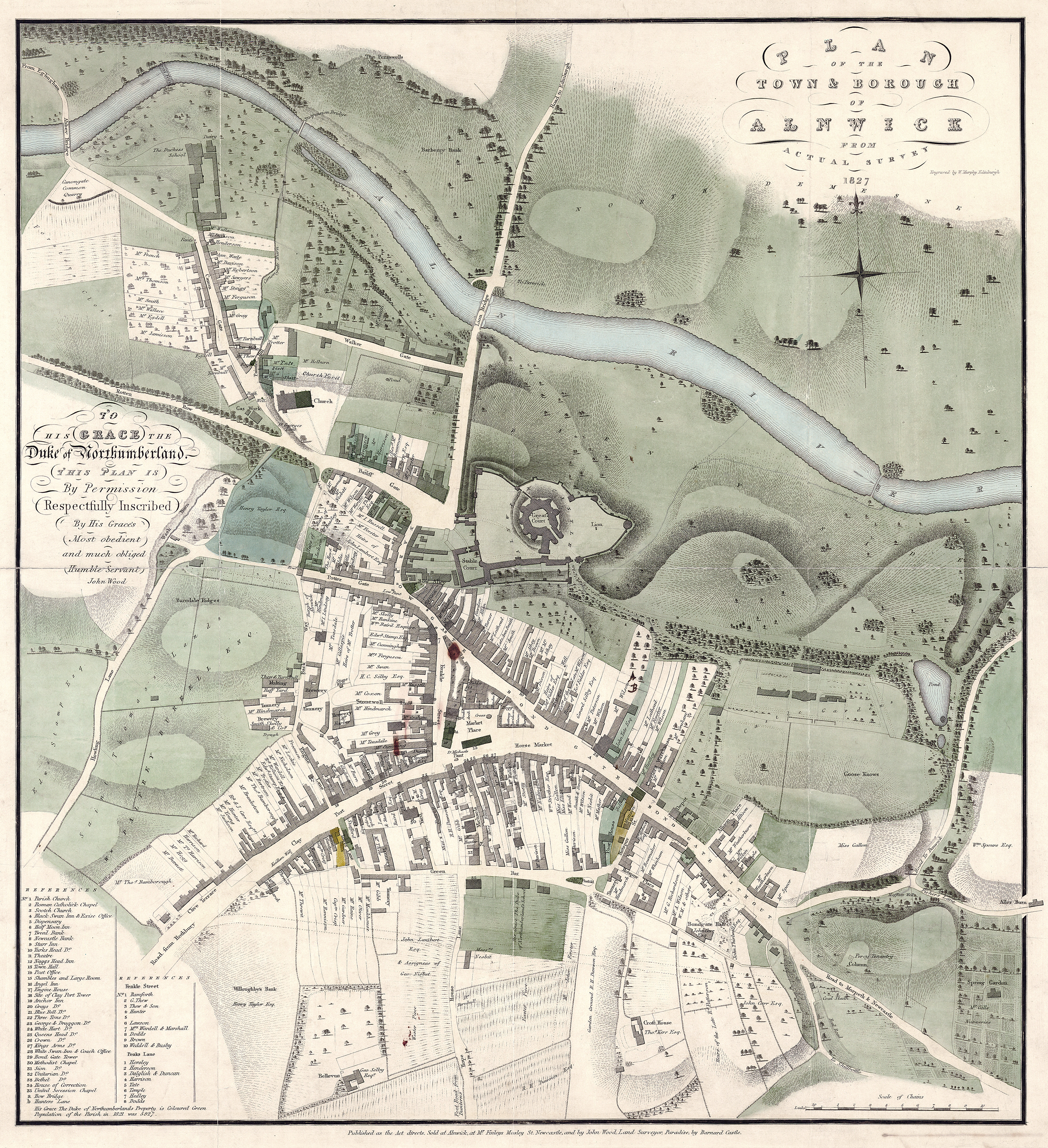
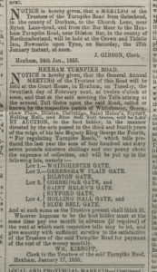
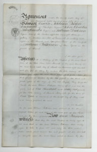
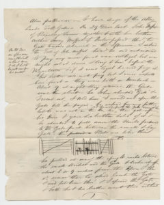
Using Quarter Session records, lifted from the Dickson, Archer and Thorp collection, as well as electoral rolls and contemporary maps one can trace seventy years of property history in the Bondgate area, and understand why a simple home renovation could cause extreme neighbourhood strife and personal tragedy.

Bondgate’s Burgages
Using anecdotes from the testimony of court room witnesses, one can began to build a vivid picture of early nineteenth century Bondgate. The area was a vibrant and creative one, filled with artisan residents practising occupational crafts such as hat and breech-making. Its main street was a busy common highway, and court witness James Simpson reminisced about how local residents Aaron Shanks and Nicholas Dune would sit and chat in it. The properties which lined Bondgate Street were referred to in court documents as “old burgages” essentially meaning they had been, at some point, rental properties.
The Mather’s controversial property, atypical to others on the row, was described in the prosecution’s brief as an “ancient” building boasting a traditional thatched roof and mud walls. James Mather was listed in electoral rolls as possessing an “undivided moiety of a freehold house,” thus it is likely the Mather brothers shared in the property’s ownership. We can also trace the property’s previous occupants using a list produced specifically for the October court case;
“[the building] formerly belonged to Aaron Shanks (Cooper), afterwards his two daughters, then Robert Patterson of Alnwick a draper, and then to James and George Mathers.”
When the Mather brother’s acquired their new property they set about demolishing its old external walls and erecting new ones. They were not the first amongst their neighbours to renovate the traditional street front. The Nesbit and Landell families had each altered their properties by removing the external walls, which appeared to be of a “temporary nature, to make the buildings sturdier. These necessary, yet subtle, changes were largely accepted by the community, so long as they respected public access to the street and complied with the row’s existing uniform design.
Yet the Mather’s renovation differed hugely, as the brothers had decided to demolish the whole front-facing external wall and rebuild it jutting out into the street. This new design blocked the public’s right of way to Bondgate Street, and broke the perpendicular line which had traditionally existed along the property row.

Neighbours and community members were outraged at the new wall and the property’s new position; and reading their testimonies has highlighted similarities between this case and modern examples regarding the demolition or refurbishment of traditionally established buildings. While some neighbours called for nuisance charges to be brought others viewed the wall as being an outright public danger. This concern was especially illustrated in the testimony of Samuel Fairburn who;
“Had reason to complain for, in going up to his sisters, … about 3 weeks ago he knocked the side of his face against it [the new exterior wall], there was no moon and his eye sight is not good.”
The physical injury and inconvenience to local residents ultimately led to legal complaints and action. But, despite being issued with various indictments and warnings, the brothers refused to amend or remove the wall and thus presented themselves before the court on October 23rd 1829 to defend their boundary rights.
The Court Case – Memory Lane
The Mather’s radical act to move their external wall out into the street had thrown into question the land rights of all Bondgate residents, as well as the public’s right to access. The brothers sternly defended their actions by maintaining that the new wall still fell within their land boundary. They perceived this boundary to be marked out by several large rocks, from the property’s original foundations, which had surfaced in the street only metres beyond the original external wall.
The prosecution’s case therefore rested on being able to prove that these stones did not mark any land boundary but that it was the perpendicular line, which had existed for generations between houses, which decided boundary rights. Proving the Mather brothers had subverted these traditional property lines required strong witness testimony. Thus the prosecution’s witnesses were carefully selected from the community for both their knowledge of the area and their ability to remember the property’s state prior to 1795.
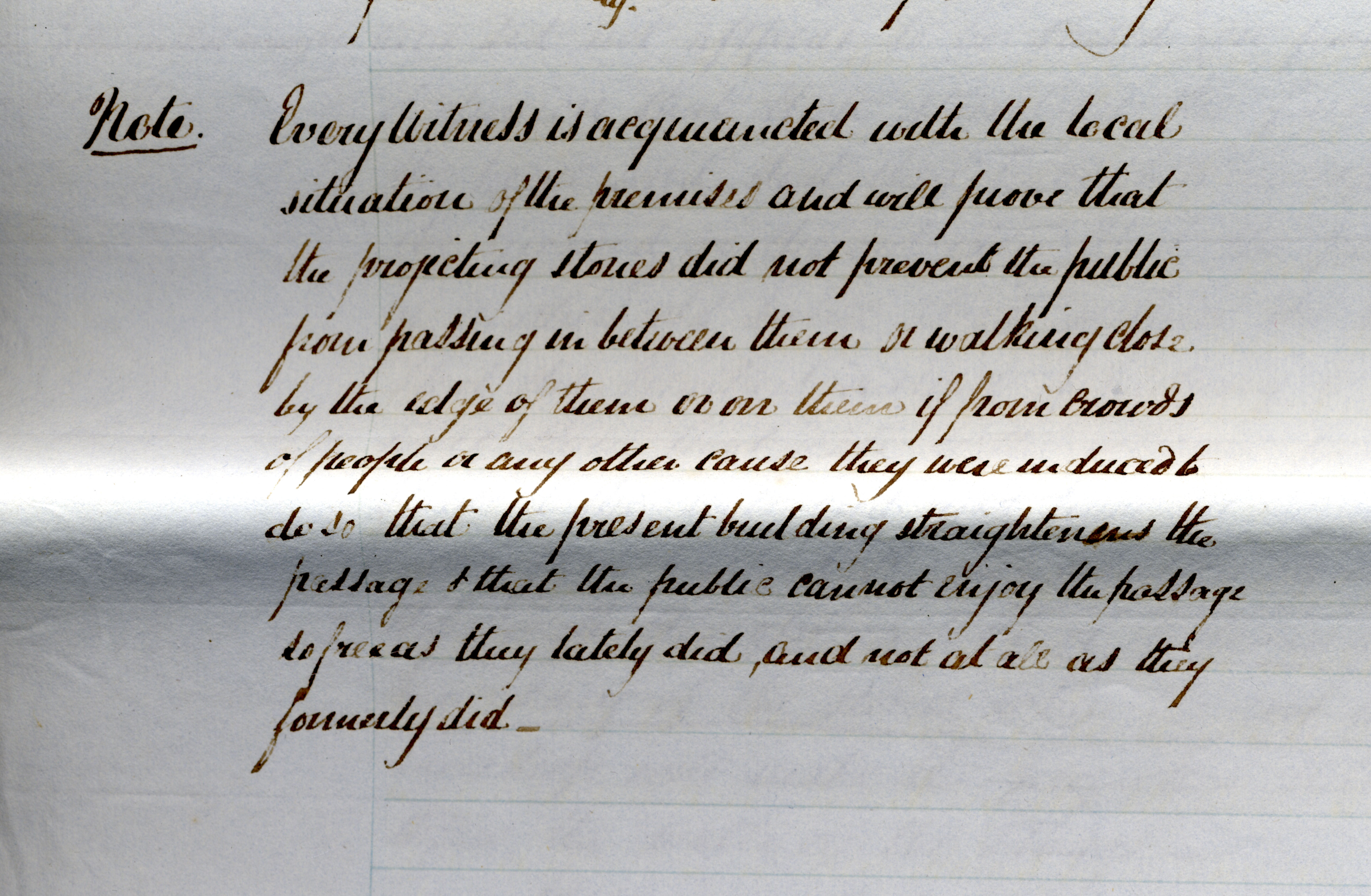
Most of the witnesses were in their 70s when they stood before the court. Some of whom had been builders in their youth, and believed the Mather brothers were correct in their assertion that the surfacing rocks had been part of the property’s original foundations. These witnesses claimed that the rocks had surfaced beyond the property, and into the road, as;
“the original builder had sunk the foundation stones so deep they had crumbled and tumbled below the surface so when they re-emerged they were beyond the boundary”
These rocks therefore held no sway over property rights or boundaries; instead it was the original positioning of the Bondgate row burgages which marked land rights and property lines. This concept was described for the court using a small architectural model, presented by William Smith:
“The old burgage of Mathers was bordered by a burgage belonging to Mr Nesbit on the west, by a burgage belonging to Walter Landells on the east and by Bondgate Street on the north. The front wall of the Mathers old burgage into Bondgate Street was even both with the line of Landells old and new erected houses, and it sloped generally towards Nesbits….. but before Nesbits house was rebuilt as had just been stated, all these three houses were in their old state in a line with each other.”
The Mather Family – Triumph and Tragedy
Unfortunately documents from the Dickson, Archer and Thorp collection do not tell us the court’s decision on the case, although research into both census and electoral records has told us that George and James continued to live in the controversial property for at least two more decades.
In the 1840s the brothers can be found living in the Bondgate property along with their sister Margaret Mather and a second woman; Hannah Mather. It is thought that Hannah may have been James’ wife, or perhaps another sister. Research also revealed a boy was born into the Mather family around 1827 and, although his exact parentage is uncertain, he was named George and certainly grew up in the Bondgate property.
Twenty-two years after the court case, in 1851, Margaret and George are still listed as living in Bondgate, whilst Hannah and George Jn cannot be traced. However, in the same year, James Mather is tragically recorded as residing in the Alnwick Workhouse within St Paul’s Parish.
One can only guess as to why the family split up but, in perhaps the most tragic of twists, a map depicting 1820s Alnwick shows the Mather’s Bondgate property was adjoined to a poorhouse. This was a tragic end for James; a man who had fought the law to retain his property rights barely twenty years before and yet ended his life at the other end of the property spectrum.
A map showing Alnwick in 1827. If you double-click on the image, and zoom in, the Mather property can be found to the south of the map at the bottom of Bondgate Street

